

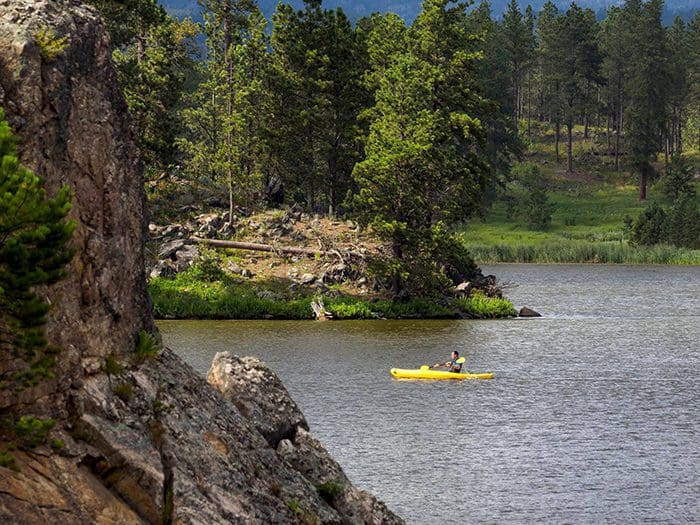
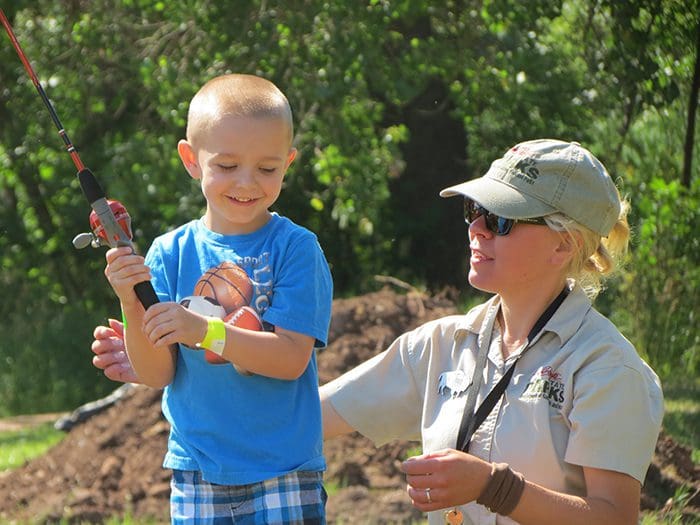
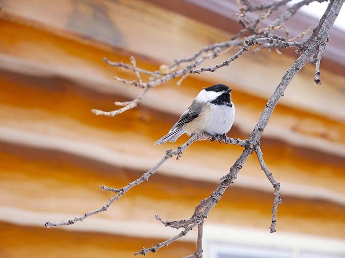
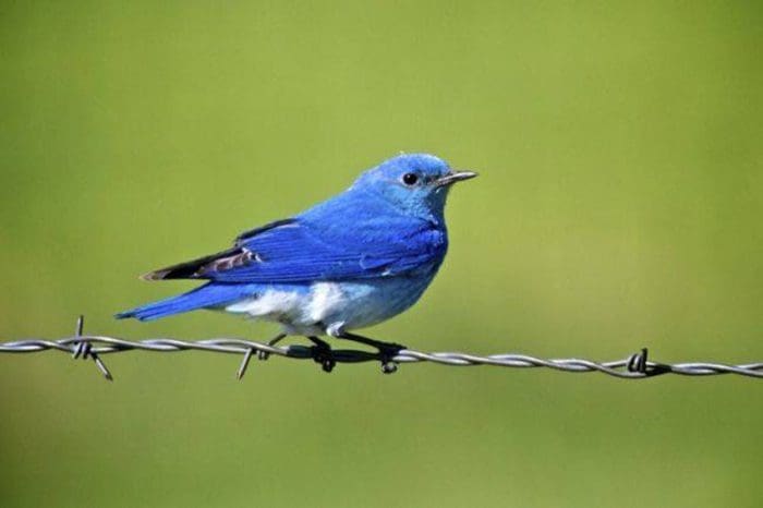
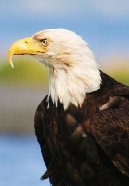
Biking, Birdwatching, Boating, Camping, Canoeing/Kayaking, Cross country skiing, Fishing, Hiking, Historical interest, Horse Trail, Horseback Riding, Paddleboarding, Rock Climbing, Snowshoeing, Swimming
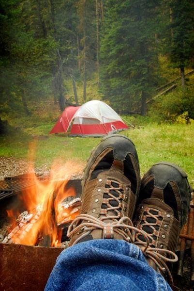
Beach, Campground, Camping Cabins, Canoe/Kayak Rentals, Drinking Water, Dump Station, Electric Campsites, Fishing Dock, Fishing Pole Checkout, Floating Water Mat Rental, Flush Toilets/Showers, Guided Tours, Horse Camp, Life Jacket Checkout, Lodge, Off-Highway Vehicle Area, Paddleboard Rentals, Parking, Picnic Shelter, Picnic Tables, Playground, Resort, Snowshoe Checkout, Vault Toilets, Visitor Center, Wi-Fi
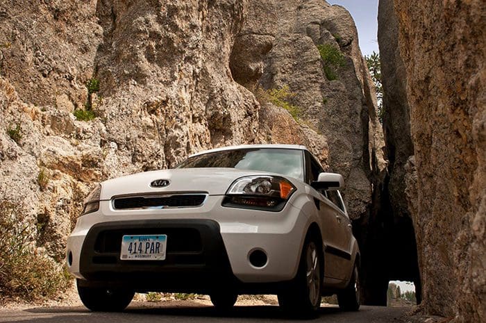
Needles Highway (SD Hwy 87 North).
Distance: 14 miles.
Expected travel time: 60+ minutes
Tunnels:
Needles Eye Tunnel (Near Needle’s Eye), 8′ 4″ wide by 11’3″ high;
Iron Creek Tunnel, 9′ 0″ wide by 11’4” high.
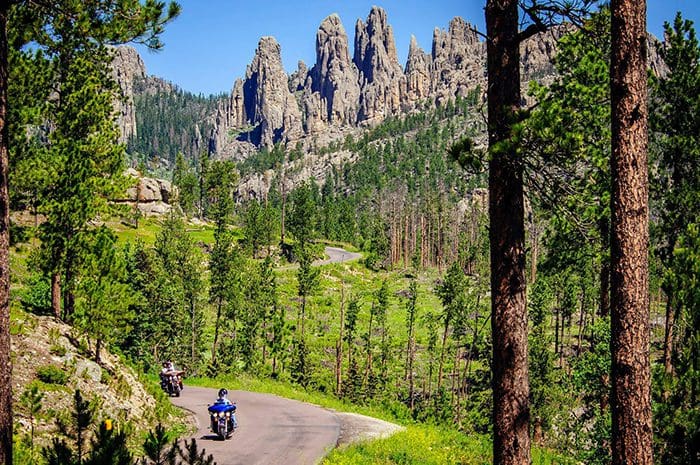
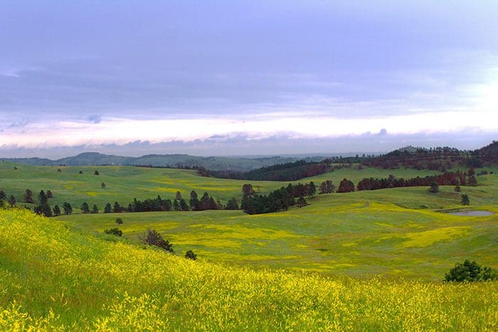
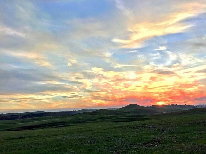
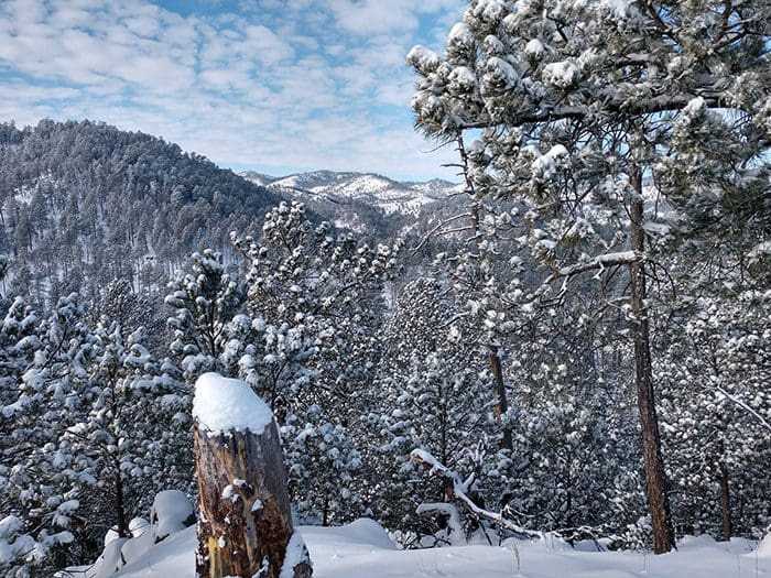
The Needles Highway is a spectacular drive through ponderosa pine and the Black Hills spruce forests, meadows surrounded by birch and aspen, and rugged granite mountains.
The road’s name comes from the needle-like granite formations, which seem to pierce the horizon along the highway.
The roadway was carefully planned by former South Dakota Governor Peter Norbeck, who marked the entire course on foot and by horseback. Construction was completed in 1922.
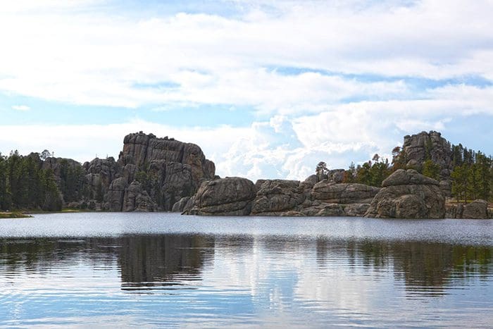
Visitors traveling the highway, pass Sylvan Lake and a unique rock formation called the Needle’s Eye, named for the opening eroded by wind, rain, freezing, and thawing.
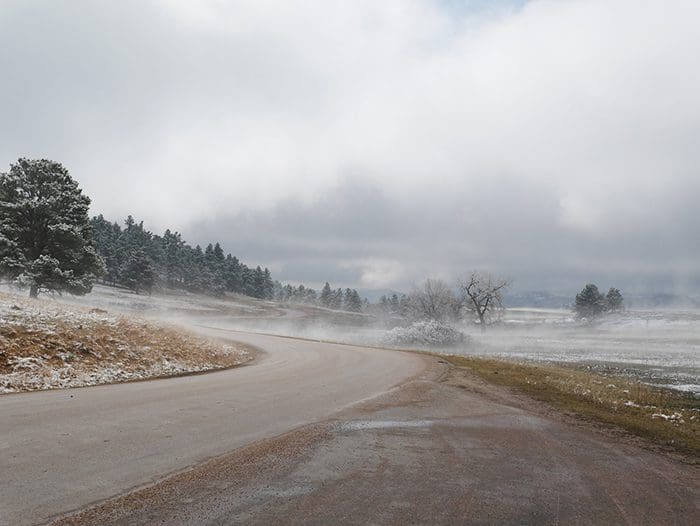
Needles Highway closes to vehicles with the first snow of the season and does not reopen until April 1, or later depending on conditions. The trail remains open for hikers, walkers, bikers, and skiers.
Distance: 17 miles
Expected travel time: 60+ minutes
Tunnels:
Doane Robinson Tunnel, 13′ 2″ wide by 12′ 2″ high;
C.C. Gideon Tunnel, 13′ 0″ wide by 11′ 0″ high;
Scovel Johnson Tunnel, 13′ 2″ wide by 12′ 4″ high.
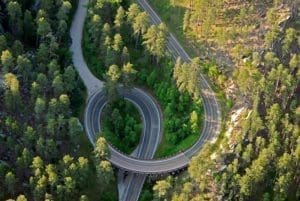
The Iron Mountain Road is a work of art in itself. The highway connects Custer State Park and Mount Rushmore National Memorial and passes through some of the most beautiful scenery in the Black Hills, including three tunnels that frame Mount Rushmore in the distance. The road is famous for the “Pigtail Bridges” that allow travelers to drop or gain altitude quickly.
The highway was constructed in the 1930s under the direction of Governor Peter Norbeck, “this is not meant to be a superhighway, to do the scenery justice you should drive no more than 20 mph and to do it full justice you should simply get out and walk.” Experience the road that engineers once said couldn’t be built; you’ll be happy you did.
Iron Mountain Road does close periodically during the winter depending on conditions and how quickly the road can be cleared safely.
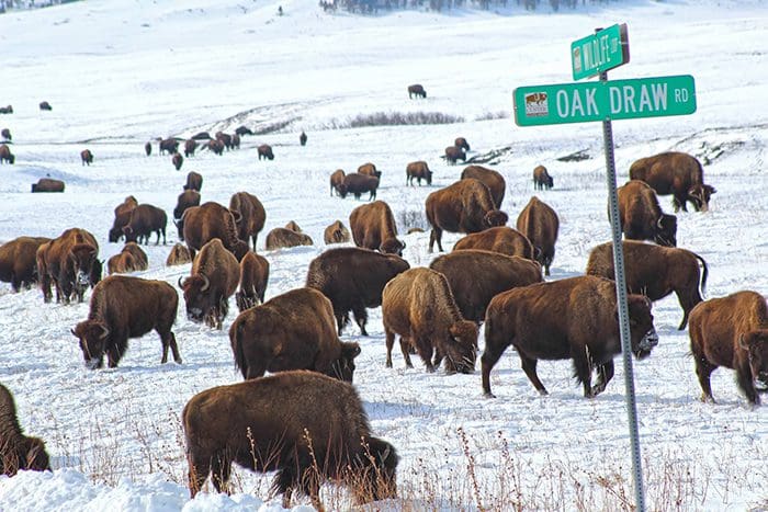
Distance: 18 miles
Expected travel time: 1 hour 30 minutes—travel time is dependent on “wildlife jams”. From the intersection of Wildlife Loop Road and SD Hwy 87, US Hwy 16A is five miles north.
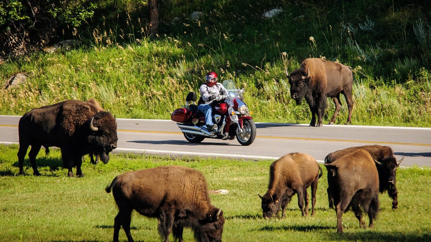
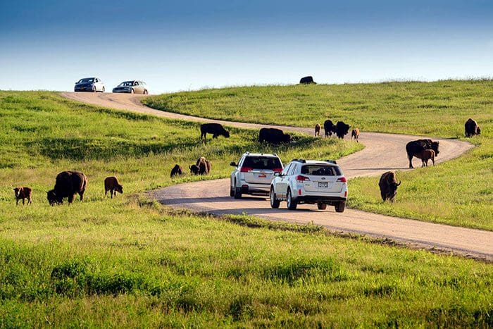
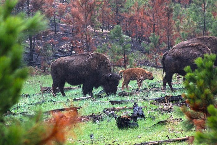
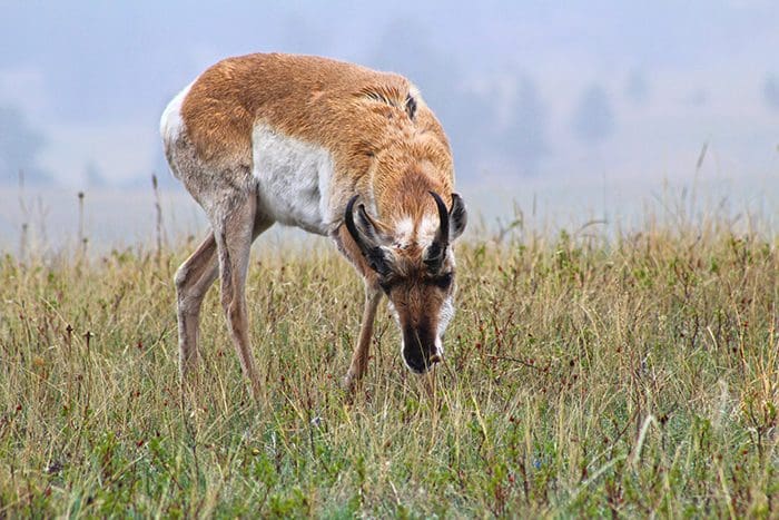
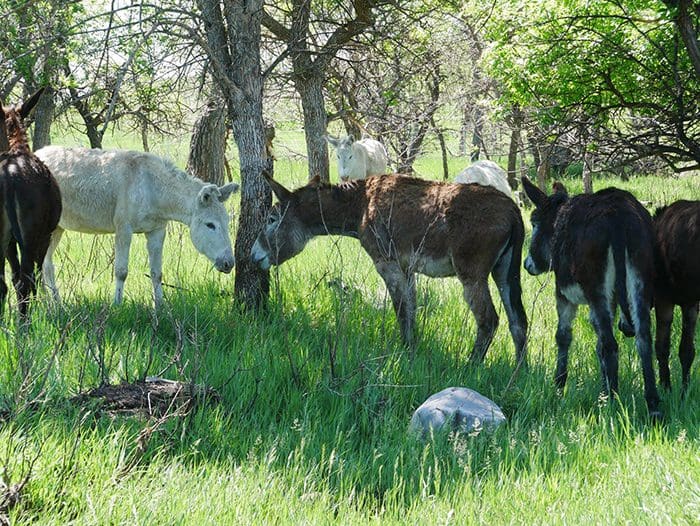
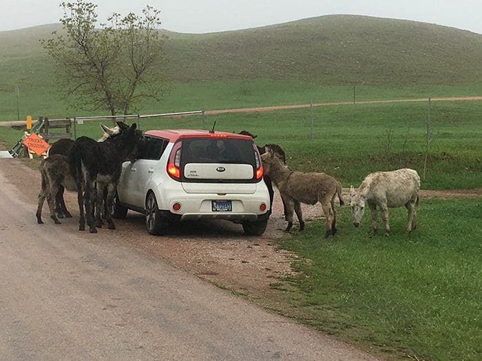
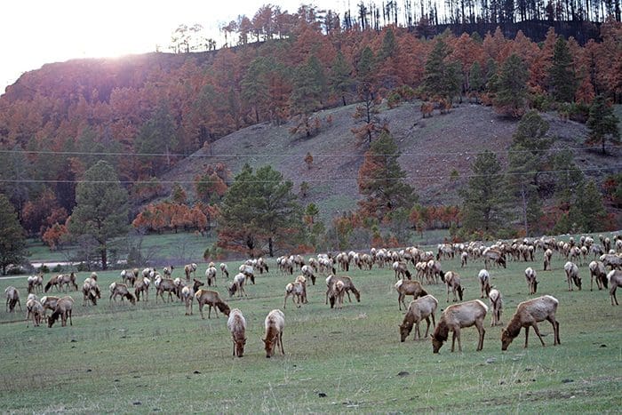
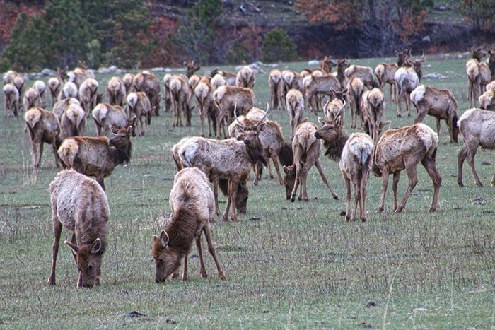
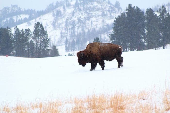
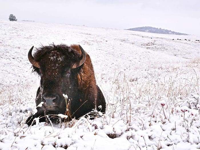
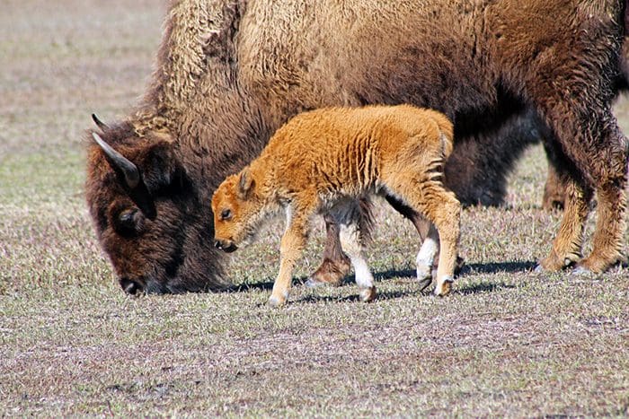
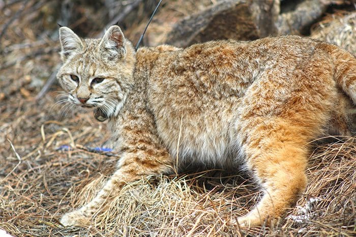
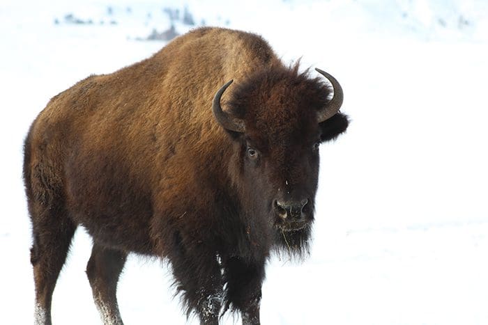
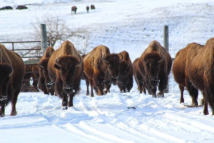
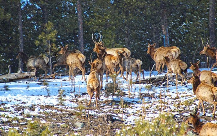
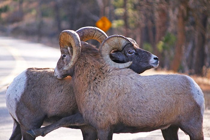
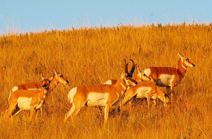
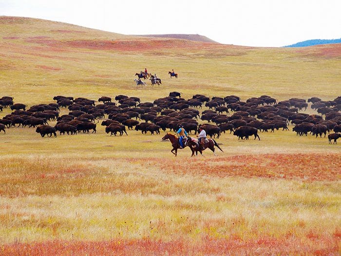
Wildlife Loop Road twists and turns its way through the prairie and ponderosa pine-studded hills that harbor many of the park’s wildlife species. On most days, guests will come face to face with the number one inhabitant of the park, 1,350 free-roaming buffalo. White-tailed deer, mule deer, and elk are most visible early in the morning and late in the afternoon; if you’re lucky, you may see bighorn sheep, burrowing owls, coyotes, or even a mountain lions. Two of the most colorful characters along the way are the prairie dogs and a band of the park’s feral burros.
When to travel: The best time to view animals along the Wildlife Loop Road is early morning or late in the evening, just before sunset. The road is open year-round but does require careful driving during winter conditions.
While the animals within the park are used to visitors and vehicles, they are still wild animals. Please remain in your vehicle or stay at least 100 yards from bison, elk, and other animals.
Pets must be on a leash no longer than 10 feet and are not allowed in any park buildings or on designated swim beaches. Please clean up after your pet and do not leave it unattended. Service animals are welcome.
Firearms must be unloaded and cased unless during a hunting season with the proper license. Concealed carry is allowed with the appropriate permit.